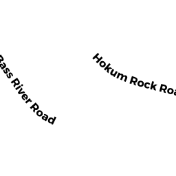
85 HOKUM ROCK ROAD DE
Owner Information
MITCHELL ADRIENNE
43 BEECHWOOD ROAD
BOURNE, MA 02532


Property Details
85 HOKUM ROCK ROAD DE is classified as a Single Family Residential (Cape).
The primary structure on this property was built in 1979. There are 1,053ft2 of built area within this property. There is 1,053ft2 of residential/living space within this property. This property is listed as having 6 rooms.
85 HOKUM ROCK ROAD DE is valued at $402,800. The land is valued at $153,800 and the structures are valued at $247,000. There is an additional valuation of $2,000 on this property.
85 HOKUM ROCK ROAD DE was last sold on Tuesday, January 17, 2017 for $0.
Assessment data from fiscal year 2022.
Flood Data
According to the FEMA National Flood Hazard Layer, this property does not appear to be in a flood zone. It may also be in an area not yet reviewed. Nonetheless, confirm this information prior to taking any action.
To view the flood hazards around this property, create a FEMA "Firmette" Map of the area around 85 HOKUM ROCK ROAD DE.
Broadband Internet Providers
| Provider | Type | Bandwidth (mbps) | |
|---|---|---|---|
| VSAT Systems, LLC. | Satellite | 2 | 1 |
| HughesNet | Satellite | 25 | 3 |
| GCI Communication Corp. | Satellite | 0 | 0 |
| Verizon New England Inc. | DSL | 10 | 1 |
| Comcast | Cable | 1000 | 35 |
| T-Mobile | Fixed Wireless | 25 | 3 |
| Viasat Inc | Satellite | 35 | 3 |
Broadband service provider data from December 2020.
Adjacent Properties
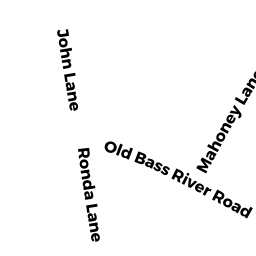
- 838 OLD BASS RIVER ROAD DE
Single Family Residential owned by NEE MICHAEL P - 91 HOKUM ROCK ROAD DE
Single Family Residential owned by LARKOWSKI HENRY TRUSTEE - 97 HOKUM ROCK ROAD DE
Single Family Residential owned by MUNIZ PETER M ET UX - 81 HOKUM ROCK ROAD DE
Single Family Residential owned by PEARSON DAVID V TRUSTEE